Content is being developed.
![ParselPro Studio logo]() ParselPro Studio

An Istanbul-focused workspace for zoning analysis and feasibility. I develop it to bring parcel information, planning calculations and three-dimensional building review into one process.
Purpose
ParselPro Studio is a workspace in which I connect a site's planning conditions with the early decisions of architectural design. Its Istanbul-focused development brings parcel information, planning parameters, development calculations and three-dimensional building review into a shared process. The aim is to make the spatial implications of numerical planning information easier to understand.
Applications
The work addresses site assessment, feasibility before architectural design and discussion of how a building proposal relates to its parcel conditions. It focuses on the transition from planning data to spatial alternatives.
Workflow
Parcel and zoning information are reviewed first. Conditions drawn from source documents are connected to development calculations, and the resulting options are examined through site-layout and massing studies. Floor-plan research through the KatAtölyesi module forms part of this wider design process.
Areas of work
- Combined parcel and zoning review
- Development calculations from planning parameters
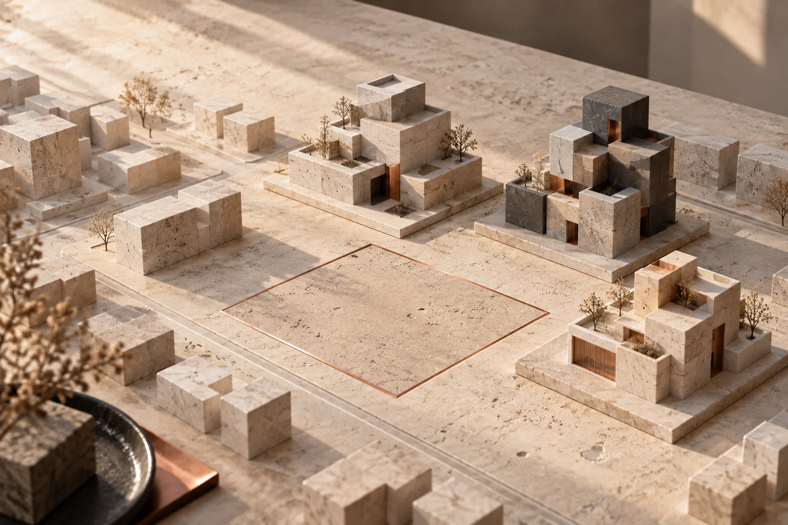
- Site layout and three-dimensional massing
- Drawing and report outputs
Outputs
Development calculations, site layouts, three-dimensional massing studies, drawings and report preparation are within the development scope. Outputs are considered alongside the source parcel information.
Images and work examples
Images explaining the subject of the work, alongside dated program tests where available. Each caption identifies the nature of the image.
Development status
District data and document coverage may vary. Each study is examined against its own sources and planning conditions; the portfolio description does not imply identical data access across every district.
Access and introduction
Please contact me for a presentation and information on use.