Content is being developed.
![KrokiDXF logo]() KrokiDXF
A local tool for turning cadastral setting-out, alignment/elevation and zoning documents into editable project information. It focuses on reviewing document coordinates and the source sketch before user-approved drawing preparation.
Purpose
KrokiDXF connects architectural information in setting-out sketches, coordinate records, alignment and elevation documents, and zoning material with drawing preparation. It reviews numerical data alongside the shapes and relationships shown in a document. Preserving the source-to-drawing link and keeping conflicts visible are central priorities.
Applications
The tool is developed for interpreting survey, coordinate, level and zoning documents before architectural use. It focuses on organising information from different readings and examining its relationship to a drawing.
Workflow
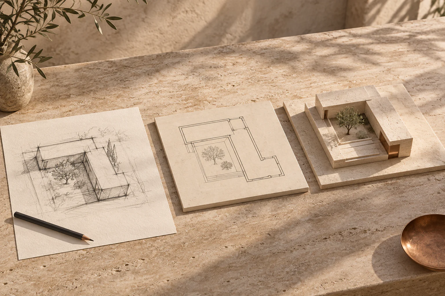
A PDF or image document is read, and readings from coordinate cells are compared. The source sketch and drawing preview are reviewed side by side. Drawing and document outputs are prepared after missing or conflicting information has been considered and the geometry has been approved by the user.
Areas of work
- Read data from PDF and image documents
- Compare coordinate cells with two reading engines
- Review the source sketch and drawing preview side by side
- User-approved DXF, PDF and HTML outputs
Outputs
Preparation of DXF drawing files, PDF documents and HTML review outputs for user-approved geometry is within the scope. Comparison with the source document remains part of output preparation.
Images and work examples
Images explaining the subject of the work, alongside dated program tests where available. Each caption identifies the nature of the image.
Development status
Document conflicts and uncertain coordinates await a user decision. Unreadable information is not treated as complete, and a clean-looking drawing does not replace source verification.
Access and introduction
Please contact me for a presentation and information on use.